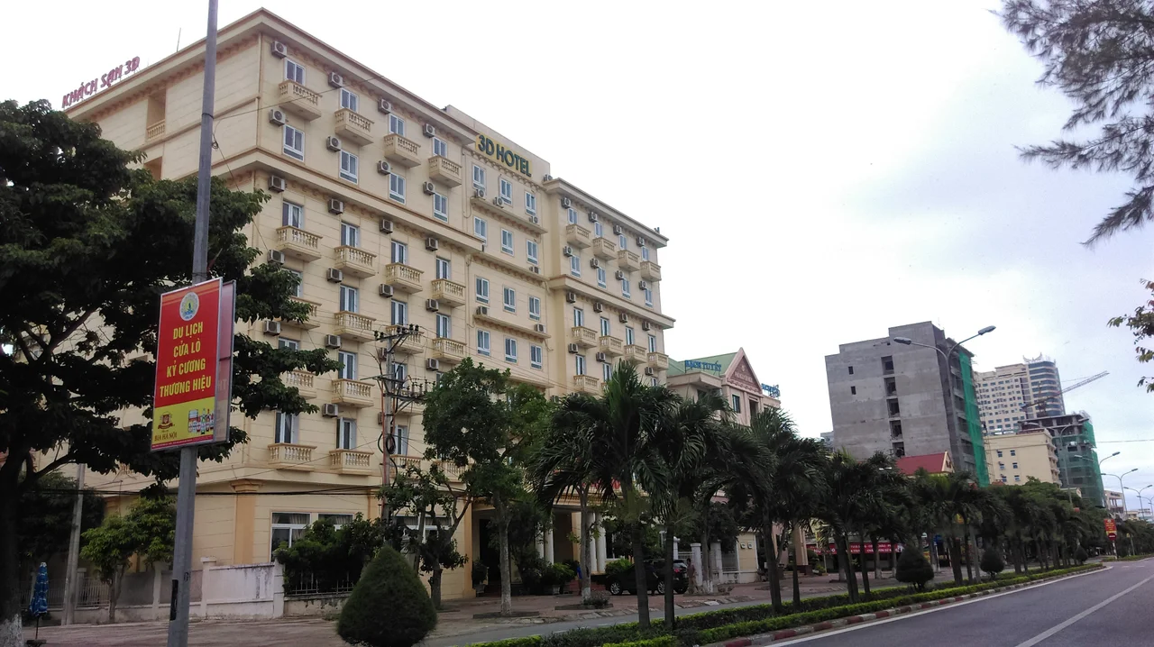

Cửa Lò
Cửa Lò was wiped off Vietnam's administrative map twice in seven months, and survived both erasures. On 1 December 2024 the resort town — 29.09 square kilometres of sand, casuarina and seafood grills on the Gulf of Tonkin — was folded into the city of Vinh under Resolution 1243 of the National Assembly Standing Committee. Then, on 1 July 2025, Vinh itself ceased to exist: Vietnam abolished its entire district tier of local government in a single stroke, and eighty-five cities went with it. What sits on that stretch of coast today is a ward. It is still called Cửa Lò.
A Resort the Eastern Bloc Built
For most of its history this was a fishing settlement, and the fishing never stopped — the Vạn Lộc village festival is still held each year to honour the trade and celebrate a good catch. What changed arrived from a long way away. In the 1980s, aid from the Comecon countries built out the beachfront, and a poor coastal village became one of the north-central coast's principal resort towns within a generation. The result is a shoreline running two economies at once. Cargo moves through the port of Cửa Lò, the most important seaport serving Vinh and the saltwater end of the east–west economic corridor that runs from Myanmar through Thailand and Laos into Vietnam along National Route 7. A short distance along the same sand, the beach fills every summer with families from Vinh and Hà Tĩnh who have made this their nearest sea.
Two Fish, Four Kilometres Out
Song Ngư means "two fish," and the name is literal. More than four kilometres offshore, two islands sit together, the taller rising 133 metres above the water and the lower 88, covering about two and a half square kilometres between them. On the island stands Bái Pagoda, built in the 13th century — an upper pagoda and a lower one, each roofed in three tiers, with beams carved into dragons, unicorns, turtles and phoenixes, the four sacred creatures of Vietnamese temple woodwork. Two fish-poison trees, Barringtonia asiatica, are reckoned to be around 700 years old, nearly as old as the pagoda whose courtyard they shade. There is a freshwater well on the island, called Jade Gem. A cable car linking the island to the mainland has been proposed and not yet built, which for now leaves the crossing to boats.
Where the Lam Reaches the Sea
Five kilometres down the beach, at Cửa Hội, the Lam River finally arrives at the ocean after its long run down from the western highlands. The character of the coast shifts as you go. Casuarina stands thicken, the water clears, and the noise of the resort strip falls away; from the sand at Cửa Hội, Hòn Ngư sits directly offshore, close enough to count the two summits. Follow the riverbank inland and you reach the Chàm forest, dense with birds and reptiles. Scattered along this same stretch are the quieter pieces of Cửa Lò that guidebooks tend to skip: Lan Châu islet, known locally as Toad Mountain for its shape, the Cấm River, and the temple to Duke Nguyễn Xí. North of town, the Bãi Lữ resort manages to hold sea, mountain and forest inside a single property.
A Town That Became an Address
The figures Cửa Lò carried into the merger were modest: 29.09 square kilometres, a population recorded at 75,260 in 2018, five roads connecting it to central Vinh and a city bus, number 1, that runs the whole way to the main square. Vinh International Airport lies fourteen kilometres off — a mixed military and civil field that handled 1.8 million passengers in 2018 and, between 2002 and 2015, grew its traffic faster than any other airport in the country. What the 2024–25 reorganisation did was collapse a three-tier system into two, taking districts, district-level towns and provincial cities out of the structure entirely. What it did not do was dissolve the identity. Cửa Lò is now one of six wards making up the 166-square-kilometre urban area still generally called Vinh, and the beach signs did not need repainting.
From the Air
Cửa Lò lies at 18.80°N, 105.73°E on the Gulf of Tonkin, roughly 290 km south of Hanoi. Vinh International Airport (VVVH / VII) is 14 km southwest and is the obvious approach; Thọ Xuân Airport (VVTX / THD) sits about 130 km north in Thanh Hóa province. Best viewed between 2,000 and 5,000 feet, where the whole coastal geometry resolves at once: the pale arc of beach, the two peaks of Song Ngư Island four kilometres offshore, and the mouth of the Lam River at Cửa Hội five kilometres south, where brown river water fans into the sea. Port cranes mark the northern end of the built-up strip. Summer visibility is often hazy in the humid monsoon air; the clearest conditions come with the drier northeast monsoon between November and March.
Nearby Stories
- Diễn Châu 10 km away
- Northern Vietnam Lowland Rain Forests 12 km away
- Quang Lang Air Base 29 km away
- Hà Tĩnh province 30 km away
- Northern Annamites rain forests 52 km away
- Formosa Ha Tinh Steel 54 km away
- Hoành Sơn Range 83 km away
- Bach Long Vi Island 207 km away